Source: Twitter NWS Burlington
Thanks for understanding Karla. You are correct on next Saturday night and Sunday night as another Canadian high pressure system will be moving down and bringing some colder air into the region.
Source: Twitter NWS Burlington
Thanks for the report Kerrie. We were banking on clouds moving in last night and unfortunately areas east of the Greens remained relatively clear which allowed temperatures to get colder than expected. Sorry about that.
Source: Twitter NWS Burlington
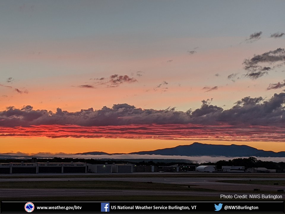
Good Tuesday morning! We’re starting off with a beautiful sunrise, some clouds and fog, and a few showers across the North Country. The fog will dissipate, but clouds will be on the increase today with the areal coverage of showers increasing this afternoon/evening. #vtwx #nywx pic.twitter.com/XiwIYyBXMY
Source: Twitter NWS Burlington
Thanks for the report Karla. We were banking on clouds moving in last night and unfortunately areas east of the Greens remained relatively clear which allowed temperatures to get colder than expected. Sorry about that.
Source: Twitter NWS Burlington
Good Tuesday morning! We’re starting off with a beautiful sunrise, some clouds and fog, and a few showers across the North Country. The fog will dissipate, but clouds will be on the increase today with the areal coverage of showers increasing this afternoon/evening. #vtwx #nywxpic.twitter.com/XiwIYyBXMY
Good Tuesday morning! We’re starting off with a beautiful sunrise, some clouds and fog, and a few showers across the North Country. The fog will dissipate, but clouds will be on the increase today with the areal coverage of showers increasing this afternoon/evening. #vtwx #nywx pic.twitter.com/XiwIYyBXMY
Source: Twitter NWS Burlington
A stationary front separates two airmass from each other. In this case, cool air over the northeast/eastern Canada and hot humid air over the Great Lakes and Ohio Valley. This clash of airmasses will bring continued chance of showers for us and little change in temps Wednesday. pic.twitter.com/pcnKeF5jyr
Source: Twitter NWS Burlington
We had a new record high temperature for the month of May at BTV and MPV on May 27th. We set a record for the highest minimum temperature at BTV on May 27th & 28th, the low was 72. Let’s not forget that we had our second latest measurable snowfall on May 9th as well. pic.twitter.com/j9Bsi7n7qP
Source: Twitter NWS Burlington
We do, you can check it out on our website here: weather.gov/btv/climatemaps
Source: Twitter NWS Burlington
We had a new record high temperature for the month of May at BTV and MPV on May 27th. We set a record for the highest minimum temperature at BTV on May 27th & 28th, the low was 72. Let’s not forget that we had our second latest measurable snowfall on May 9th as well.pic.twitter.com/j9Bsi7n7qP
We had a new record high temperature for the month of May at BTV and MPV on May 27th. We set a record for the highest minimum temperature at BTV on May 27th & 28th, the low was 72. Let’s not forget that we had our second latest measurable snowfall on May 9th as well. pic.twitter.com/j9Bsi7n7qP
Source: Twitter NWS Burlington


